Category:Maps
Jump to navigation
Jump to search
Media in category "Maps"
The following 22 files are in this category, out of 22 total.
-
Addrpg-map.jpg 500 × 500; 118 KB
-
Alastria.gif 638 × 610; 15 KB
-
Alastria.png 640 × 644; 19 KB
-
Am freeway network 2009.jpg 797 × 550; 67 KB
-
Amersfort Island April 2011.jpg 1,043 × 678; 594 KB
-
Bd cmplx1.JPG 250 × 250; 27 KB
-
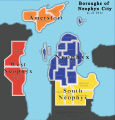
Boroughs of Neophyx.png 1,230 × 1,280; 709 KB
-
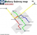
Daliaxysubway.jpg 468 × 439; 25 KB
-
Hcgzplan1999paper.jpg 584 × 393; 73 KB
-
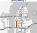
Map Expressway 1.jpg 912 × 814; 80 KB
-
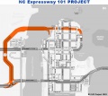
Map Expressway 101.jpg 912 × 814; 87 KB
-
Map Expressway 5.jpg 912 × 814; 82 KB
-
MapExpressway7.jpg 912 × 814; 81 KB
-
Mapgz.jpg 516 × 571; 40 KB
-
Neophyx Peninsula satellite 2011.jpg 1,915 × 978; 352 KB
-
Old map of Neophyx in 2003.jpg 1,024 × 1,337; 76 KB
-
Old map of Neophyx in 2004.jpg 1,024 × 1,330; 141 KB
-
Political Map of the state of Nuwa Lueza 2009.png 1,208 × 1,322; 667 KB
-
Satellite capture of the island of Taluwah.jpg 351 × 311; 34 KB
-
Sattelite Sokiland area Aworld Sum09.jpg 1,024 × 564; 42 KB
-
Sedanarea.jpg 1,024 × 1,032; 75 KB
-
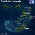
United Islands archipelago 2009.jpg 1,024 × 1,024; 134 KB
